
Hands-on GIS Workshop
Forest Fire Applications using GEE
Space Science & Tech Education Organization
Overview / Description
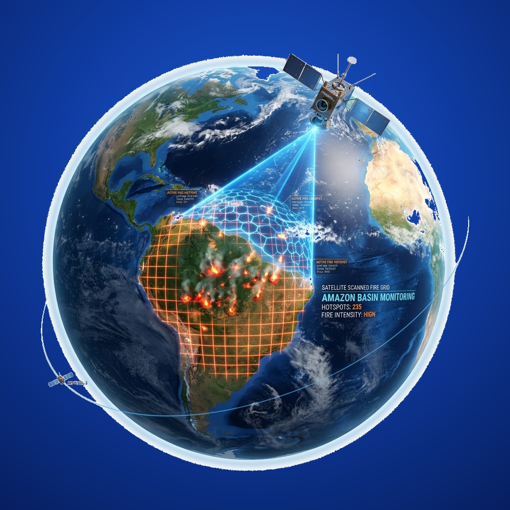
The session will introduce participants to the application of Remote Sensing and GIS in natural-hazard monitoring, with a specific focus on forest fires. Participants will learn how multi-source Earth Observation data can be used for detecting and monitoring fire activity, analysing burned areas and fire severity, and assessing fire-induced changes. The session will also introduce Google Earth Engine (GEE), a cloud-based geospatial computing platform used to process large volumes of satellite data and develop scalable workflows for environmental and disaster applications.
Keynote TopicForest Fire Monitoring using Remote Sensing, GIS & Google Earth Engine
Institution / OrganizationIndia Space Lab
Schedule & Location4th October 2026 | 10am-6pmVenue: Vikramshila, IIT Kharagpur